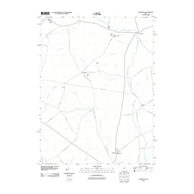
2010 Map of Plumwood
USGS Topo · Published 2010About this map
Little Darby Creek and its many tributaries, including Barron Creek and Spring Fork, define the drainage patterns across this agricultural section of Madison County. This 2010 survey illustrates the persistence of small rural settlements such as Plumwood, Rosedale, and Chuckery, which remain centered on historic road junctions. The landscape is notably marked by its ancestral burial grounds, including the Bigelow Pioneer Cemetery and its associated Bigelow Cemetery Prairie, as well as the Phellis Cemetery and Guy Cemetery. These sites, along with the Irwin Post Office near Irwin, offer significant touchstones for genealogical research. The presence of Mayer's Fruit Farm and an extensive network of drainage features like Bales Ditch and Boerger Ditch reflect the region's long-standing reliance on managed agricultural land, while the Little Darby Bridge serves as a key crossing for local transit.
Find a feature on this map
47 named features on this map. Tap any name to fly to it.
Don’t see what you’re looking for? This feature index may not catch every label — zoom into the map to look around manually.
Map Details
Editions of this 2010 Plumwood Map
This is the sole edition of this map. No revisions or reprints were ever made.
Other maps of this area

1907 · London
USGS Topo · 1:62,500

1907 · South Charleston
USGS Topo · 1:62,500

1914 · Mechanicsburg
USGS Topo · 1:62,500

1916 · Mechanicsburg
USGS Topo · 1:62,500

1916 · Milford Center
USGS Topo · 1:62,500

1944 · Mechanicsburg
USGS Topo · 1:62,500

1944 · Milford Center
USGS Topo · 1:62,500

1947 · Columbus
USGS Topo · 1:250,000

1950 · Marion
USGS Topo · 1:250,000

1961 · Columbus
USGS Topo · 1:250,000