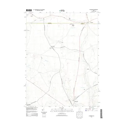
2013 Map of Plumwood
USGS Topo · Published 2013About this map
Little Darby Creek and its many tributaries, including Spring Fork and Barron Cr, carve a complex drainage pattern across this Madison County landscape. The area is defined by a dense network of agricultural ditches such as Boerger Ditch and Holton Ditch, reflecting the intensive land management required for local farming. Small settlements and crossroads like Plumwood and Rosedale serve as local anchors, with the latter notably housing the Rosedale Bible Coll.
Find a feature on this map
48 named features on this map. Tap any name to fly to it.
Don’t see what you’re looking for? This feature index may not catch every label — zoom into the map to look around manually.
Map Details
Editions of this 2013 Plumwood Map
This is the sole edition of this map. No revisions or reprints were ever made.
Other maps of this area

1907 · London
USGS Topo · 1:62,500

1907 · South Charleston
USGS Topo · 1:62,500

1914 · Mechanicsburg
USGS Topo · 1:62,500

1916 · Mechanicsburg
USGS Topo · 1:62,500

1916 · Milford Center
USGS Topo · 1:62,500

1944 · Mechanicsburg
USGS Topo · 1:62,500

1944 · Milford Center
USGS Topo · 1:62,500

1947 · Columbus
USGS Topo · 1:250,000

1950 · Marion
USGS Topo · 1:250,000

1961 · Columbus
USGS Topo · 1:250,000