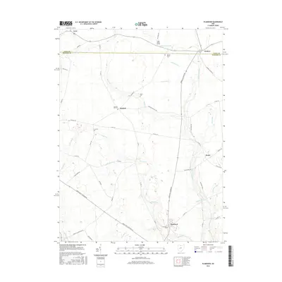
2016 Map of Plumwood
USGS Topo · Published 2016About this map
The agrarian landscape of Madison County and southern Union County is defined by a dense network of agricultural waterways like Boerger Ditch and Bales Ditch that feed into the larger Little Darby Creek and Spring Fork. Small crossroad communities anchor the region, including Plumwood at the intersection of several county roads and the settlement of Rosedale, which is the site of the Rosedale Bible Coll. Genealogists will find several notable burial sites across the township, from the Bigelow Pioneer Cem near the northern boundary to Guy Cem and Phellis Cem. This 2016 survey illustrates a meticulously managed drainage system and the enduring rural structure of central Ohio, where long-standing family-named landmarks like the Little Darby Bridge and the small hamlet of Resaca persist among the expansive fields.
Find a feature on this map
54 named features on this map. Tap any name to fly to it.
Don’t see what you’re looking for? This feature index may not catch every label — zoom into the map to look around manually.
Map Details
Editions of this 2016 Plumwood Map
This is the sole edition of this map. No revisions or reprints were ever made.
Other maps of this area

1907 · London
USGS Topo · 1:62,500

1907 · South Charleston
USGS Topo · 1:62,500

1914 · Mechanicsburg
USGS Topo · 1:62,500

1916 · Mechanicsburg
USGS Topo · 1:62,500

1916 · Milford Center
USGS Topo · 1:62,500

1944 · Mechanicsburg
USGS Topo · 1:62,500

1944 · Milford Center
USGS Topo · 1:62,500

1947 · Columbus
USGS Topo · 1:250,000

1950 · Marion
USGS Topo · 1:250,000

1961 · Columbus
USGS Topo · 1:250,000