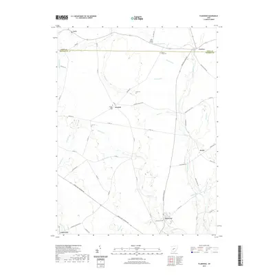
2019 Map of Plumwood
USGS Topo · Published 2019About this map
Rosedale Bible College stands as a central landmark in this agricultural landscape where Madison and Union Counties meet. The terrain is defined by a sophisticated network of drainage infrastructure, including Boerger Ditch, Holton Ditch, and Patrick Ditch, which manage the flow of water into the Little Darby Creek and its significant tributary, Spring Fork. This reliance on engineered waterways highlights the intensive farming history of the central Ohio plains.
Find a feature on this map
55 named features on this map. Tap any name to fly to it.
Don’t see what you’re looking for? This feature index may not catch every label — zoom into the map to look around manually.
Map Details
Editions of this 2019 Plumwood Map
This is the sole edition of this map. No revisions or reprints were ever made.
Other maps of this area

1907 · London
USGS Topo · 1:62,500

1907 · South Charleston
USGS Topo · 1:62,500

1914 · Mechanicsburg
USGS Topo · 1:62,500

1916 · Mechanicsburg
USGS Topo · 1:62,500

1916 · Milford Center
USGS Topo · 1:62,500

1944 · Mechanicsburg
USGS Topo · 1:62,500

1944 · Milford Center
USGS Topo · 1:62,500

1947 · Columbus
USGS Topo · 1:250,000

1950 · Marion
USGS Topo · 1:250,000

1961 · Columbus
USGS Topo · 1:250,000