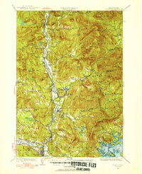
1928 Map of Plymouth
USGS Topo · Published 1953About this map
The Pemigewasset River corridor serves as the primary artery of activity in this 1928 survey, dominated by the timber and transport legacy of the White Mountains. The Boston and Maine railroad tracks parallel the river, connecting industrial points like Beebe River and Lyfords Siding to the larger markets of the south. This era shows the region in a state of specialized mountain industry, highlighted by the Tripoli Mill in the north and the cluster of civic life in Campton Upper Village and Campton Lower Village.
Find a feature on this map
153 named features on this map. Tap any name to fly to it.
Don’t see what you’re looking for? This feature index may not catch every label — zoom into the map to look around manually.
Map Details
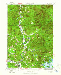
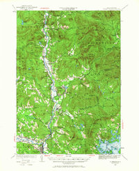
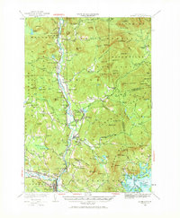
Editions of this 1928 Plymouth Map
5 editions found
Other maps of this area

1895 · Crawford Notch
USGS Topo · 1:62,500

1896 · Crawford Notch
USGS Topo · 1:62,500

1909 · Winnepesaukee
USGS Topo · 1:62,500

1925 · Holderness
USGS Topo · 1:62,500

1927 · Holderness
USGS Topo · 1:62,500

1927 · Cardigan
USGS Topo · 1:62,500

1928 · Plymouth
USGS Topo · 1:62,500

1928 · Rumney
USGS Topo · 1:62,500

1929 · Moosilauke
USGS Topo · 1:62,500

1929 · Franconia
USGS Topo · 1:62,500