
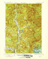
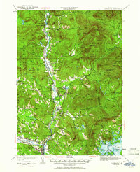
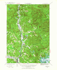
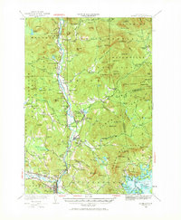
1928 Map of Plymouth
USGS Topo · Published 1953About this map
Plymouth and the surrounding Pemigewasset River valley are shown here in 1928, capturing a period when the timber and river-powered industries of Grafton County were fully established. The Boston and Maine railroad tracks follow the river's path, connecting riverside settlements like West Thornton and Campton Sta to broader markets. The landscape is dotted with the infrastructure of rural life, from the Thornton Sch and Elm Sch to the Blair Cem.
Find a feature on this map
148 named features on this map. Tap any name to fly to it.
Don’t see what you’re looking for? This feature index may not catch every label — zoom into the map to look around manually.
Map Details
Editions of this 1928 Plymouth Map
5 editions found
Other maps of this area

1895 · Crawford Notch
USGS Topo · 1:62,500

1896 · Crawford Notch
USGS Topo · 1:62,500

1909 · Winnepesaukee
USGS Topo · 1:62,500

1925 · Holderness
USGS Topo · 1:62,500

1927 · Holderness
USGS Topo · 1:62,500

1927 · Cardigan
USGS Topo · 1:62,500

1928 · Rumney
USGS Topo · 1:62,500

1929 · Moosilauke
USGS Topo · 1:62,500

1929 · Franconia
USGS Topo · 1:62,500

1930 · Cardigan
USGS Topo · 1:62,500