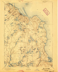
1894 Map of Plymouth
USGS Topo · Published 1898About this map
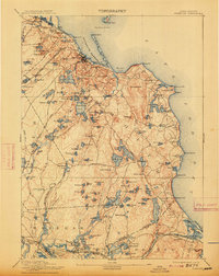
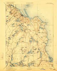
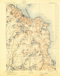
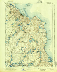
The town of Plymouth and its glacial landscape serve as the focal point of this coastal survey, conducted in the mid-1880s. The region is defined by an intricate network of kettle ponds and coastal features, including the large Billington Sea and the protective barrier of Long Beach shielding Plymouth Harbor. Transportation of the era is dominated by the Old Colony Railroad Plymouth Division and its various branches, which linked seaside communities like Kingston and North Plymouth to the burgeoning industrial and tourist centers.
Find a feature on this map
161 named features on this map. Tap any name to fly to it.
Don’t see what you’re looking for? This feature index may not catch every label — zoom into the map to look around manually.
Map Details
Editions of this 1894 Plymouth Map
9 editions found

Other maps of this area

1885 · New Bedford
USGS Topo · 1:62,500

1885 · Abington
USGS Topo · 1:62,500

1885 · Duxbury
USGS Topo · 1:62,500

1885 · Middleboro
USGS Topo · 1:62,500

1886 · Falmouth
USGS Topo · 1:62,500

1886 · Plymouth
USGS Topo · 1:62,500

1888 · Duxbury
USGS Topo · 1:62,500

1888 · Barnstable
USGS Topo · 1:62,500

1888 · New Bedford
USGS Topo · 1:62,500

1888 · Falmouth
USGS Topo · 1:62,500