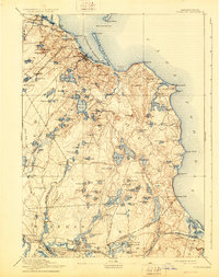
1894 Map of Plymouth
USGS Topo · Published 1929About this map
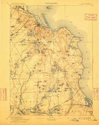
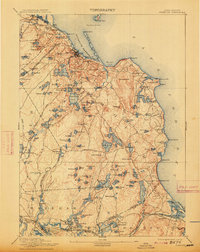
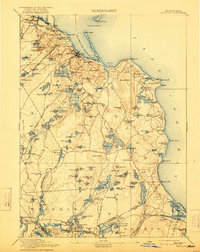
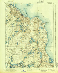
Plymouth and its surrounding coastal villages are shown here as they appeared in the late nineteenth century, defined by a network of established roads and the expanding Old Colony Railroad Plymouth Division. The landscape is heavily marked by the region's glacial legacy, featuring dozens of named ponds like the large Billington Sea and smaller basins such as Clam Pudding Pond and Smelt Pond. These water bodies, along with the Jones River and Eel River, were central to the early settlement patterns and local industries of communities like Kingston, Chiltonville, and Manomet.
Find a feature on this map
161 named features on this map. Tap any name to fly to it.
Don’t see what you’re looking for? This feature index may not catch every label — zoom into the map to look around manually.
Map Details
Editions of this 1894 Plymouth Map
9 editions found

Other maps of this area

1885 · New Bedford
USGS Topo · 1:62,500

1885 · Abington
USGS Topo · 1:62,500

1885 · Duxbury
USGS Topo · 1:62,500

1885 · Middleboro
USGS Topo · 1:62,500

1886 · Falmouth
USGS Topo · 1:62,500

1886 · Plymouth
USGS Topo · 1:62,500

1888 · Duxbury
USGS Topo · 1:62,500

1888 · Barnstable
USGS Topo · 1:62,500

1888 · New Bedford
USGS Topo · 1:62,500

1888 · Falmouth
USGS Topo · 1:62,500