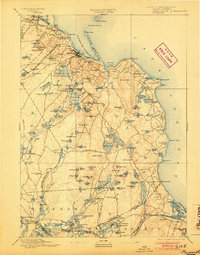
1894 Map of Plymouth
USGS Topo · Published 1904About this map
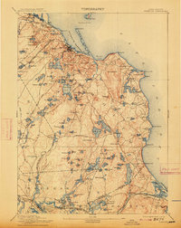
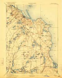
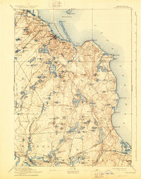
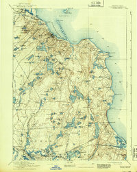
Plymouth Harbor and the surrounding coastline of the South Shore appear here in the final decade of the nineteenth century, as surveyed in 1885-6. The regional dominance of the Old Colony Railroad Plymouth Division is evident, connecting coastal hubs like Kingston and Plymouth to the interior. The interior landscape is defined by an immense density of freshwater bodies, ranging from the large Billington Sea and Great South Pond to dozens of smaller, isolated kettle ponds.
Find a feature on this map
165 named features on this map. Tap any name to fly to it.
Don’t see what you’re looking for? This feature index may not catch every label — zoom into the map to look around manually.
Map Details
Editions of this 1894 Plymouth Map
9 editions found

Other maps of this area

1885 · New Bedford
USGS Topo · 1:62,500

1885 · Abington
USGS Topo · 1:62,500

1885 · Duxbury
USGS Topo · 1:62,500

1885 · Middleboro
USGS Topo · 1:62,500

1886 · Falmouth
USGS Topo · 1:62,500

1886 · Plymouth
USGS Topo · 1:62,500

1888 · Duxbury
USGS Topo · 1:62,500

1888 · Barnstable
USGS Topo · 1:62,500

1888 · New Bedford
USGS Topo · 1:62,500

1888 · Falmouth
USGS Topo · 1:62,500