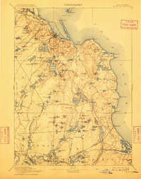
1894 Map of Plymouth
USGS Topo · Published 1909About this map
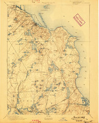
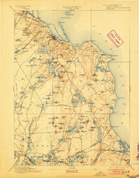
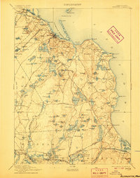
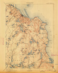
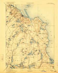
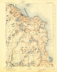
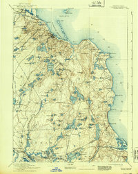
Plymouth and its coastal neighbors are captured during the transition from the 19th to the 20th century, revealing an intricate network of glacial ponds and maritime navigation aids. The shoreline is punctuated by notable landmarks like the Duxbury Pier Light and the prominent High Cliff. Rail travel was the primary connector for this region, with the Old Colony Railroad Plymouth Division serving Seaside Sta. and the Cape Cod Branch reaching Sagamore.
Find a feature on this map
139 named features on this map. Tap any name to fly to it.
Don’t see what you’re looking for? This feature index may not catch every label — zoom into the map to look around manually.
Map Details
Editions of this 1894 Plymouth Map
9 editions found

Other maps of this area

1885 · New Bedford
USGS Topo · 1:62,500

1885 · Abington
USGS Topo · 1:62,500

1885 · Duxbury
USGS Topo · 1:62,500

1885 · Middleboro
USGS Topo · 1:62,500

1886 · Falmouth
USGS Topo · 1:62,500

1886 · Plymouth
USGS Topo · 1:62,500

1888 · Duxbury
USGS Topo · 1:62,500

1888 · Barnstable
USGS Topo · 1:62,500

1888 · New Bedford
USGS Topo · 1:62,500

1888 · Falmouth
USGS Topo · 1:62,500