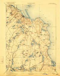
1894 Map of Plymouth
USGS Topo · Published 1921About this map
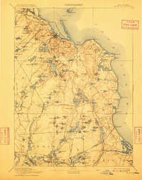
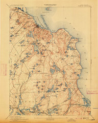
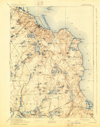
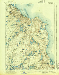
The Massachusetts coastline near Plymouth is defined by a dense network of glacial ponds and tidal inlets as it appeared in the late nineteenth century. This survey records the prominent Old Colony Railroad Plymouth Division and the Cape Cod Branch connecting coastal settlements like Sagamore and Bournedale before the modern canal era. Further south, the landscape shifts into the cranberry-growing districts of South Carver and Wareham, where narrow roads like Federal Road and Halfway Pond Road navigate a terrain pocketed with named water bodies such as the Billington Sea and Great South Pond. Along the shore, maritime landmarks including the Duxbury Pier Light and the long expanse of Long Beach protect the harbor, while the heights of Manomet Hill overlook the villages of Chiltonville and Manomet.
Find a feature on this map
166 named features on this map. Tap any name to fly to it.
Don’t see what you’re looking for? This feature index may not catch every label — zoom into the map to look around manually.
Map Details
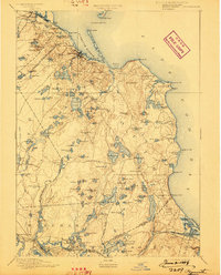
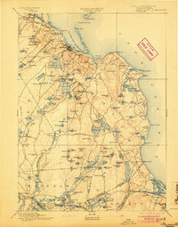
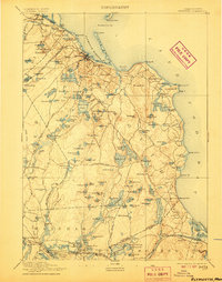
Editions of this 1894 Plymouth Map
9 editions found

Other maps of this area

1885 · New Bedford
USGS Topo · 1:62,500

1885 · Abington
USGS Topo · 1:62,500

1885 · Duxbury
USGS Topo · 1:62,500

1885 · Middleboro
USGS Topo · 1:62,500

1886 · Falmouth
USGS Topo · 1:62,500

1886 · Plymouth
USGS Topo · 1:62,500

1888 · Duxbury
USGS Topo · 1:62,500

1888 · Barnstable
USGS Topo · 1:62,500

1888 · New Bedford
USGS Topo · 1:62,500

1888 · Falmouth
USGS Topo · 1:62,500