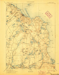
1894 Map of Plymouth
USGS Topo · Published 1907About this map
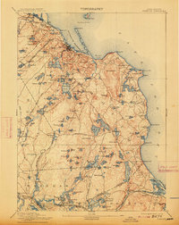
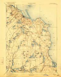
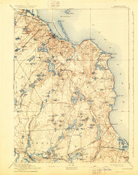
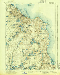
Plymouth and its surrounding coastal villages are depicted here at the turn of the century, showing a landscape defined by an intricate network of ponds and the transition from maritime commerce to a rail-connected industrial economy. The Old Colony Railroad Plymouth Division serves the coast, while the Old Colony R.R. Plymouth & Middleboro Branch cuts through the interior near Monks Hill. The topography is a glacial mosaic of kettle ponds like the Billington Sea and Great South Pond, which are interspersed with early road networks such as Federal Road and Halfway Pond Road. Along the shore, the Duxbury Pier Light stands offshore from Long Beach, marking the entrance to a harbor that sustained settlements from North Plymouth down to Chiltonville. The map captures a moment before modern sprawl, when small hubs like Wareham Center and Sagamore were distinct rail-side communities.
Find a feature on this map
162 named features on this map. Tap any name to fly to it.
Don’t see what you’re looking for? This feature index may not catch every label — zoom into the map to look around manually.
Map Details
Editions of this 1894 Plymouth Map
9 editions found

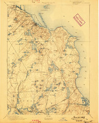
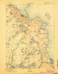
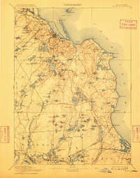
Other maps of this area

1885 · New Bedford
USGS Topo · 1:62,500

1885 · Abington
USGS Topo · 1:62,500

1885 · Duxbury
USGS Topo · 1:62,500

1885 · Middleboro
USGS Topo · 1:62,500

1886 · Falmouth
USGS Topo · 1:62,500

1886 · Plymouth
USGS Topo · 1:62,500

1888 · Duxbury
USGS Topo · 1:62,500

1888 · Barnstable
USGS Topo · 1:62,500

1888 · New Bedford
USGS Topo · 1:62,500

1888 · Falmouth
USGS Topo · 1:62,500