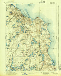
1894 Map of Plymouth
USGS Topo · Published 1939About this map
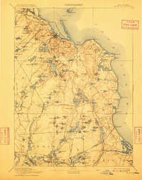
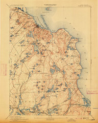
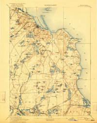
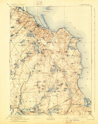
Plymouth and the surrounding coastline of Cape Cod Bay are depicted here as they appeared during the late 19th-century transition of the maritime economy. The map illustrates a landscape shaped by coastal industry and early rail expansion, with the Old Colony Railroad Plymouth Division terminating near the harbor and the Old Colony Railroad Cape Cod Branch cutting across the southern portion of the quadrangle. Inland, the terrain is defined by a high density of water bodies like Billington Sea and Little South Pond, which provided resources for local settlements like Chiltonville and East Carver.
Find a feature on this map
153 named features on this map. Tap any name to fly to it.
Don’t see what you’re looking for? This feature index may not catch every label — zoom into the map to look around manually.
Map Details
Editions of this 1894 Plymouth Map
9 editions found

Other maps of this area

1885 · New Bedford
USGS Topo · 1:62,500

1885 · Abington
USGS Topo · 1:62,500

1885 · Duxbury
USGS Topo · 1:62,500

1885 · Middleboro
USGS Topo · 1:62,500

1886 · Falmouth
USGS Topo · 1:62,500

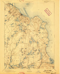
1886 · Plymouth
USGS Topo · 1:62,500

1888 · Duxbury
USGS Topo · 1:62,500

1888 · Barnstable
USGS Topo · 1:62,500

1888 · New Bedford
USGS Topo · 1:62,500

1888 · Falmouth
USGS Topo · 1:62,500