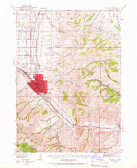
1954 Map of Pocatello
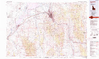
USGS Topo · Published 1983About this map
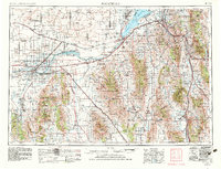
Pocatello serves as a major hub for the Union Pacific railroad and regional highway systems in this mid-century look at southeastern Idaho. The landscape is defined by the Snake River as it feeds into the American Falls Reservoir and Lake Walcott, anchoring a complex irrigation and transport network that sustained towns like Burley, Rupert, and Aberdeen. To the north, the Lava Beds and the National Guard Kimama Training Area represent the more stark, basalt-strewn expanses of the Snake River Plain, contrasting with the high elevations of the Sawtooth National Forest and Caribou National Forest. Cultural and federal boundaries are prominent, including the Fort Hall Indian Reservation and the Curlew National Grassland. Genealogists and historians can trace the development of smaller agricultural communities such as Malad City and Almo against the backdrop of the Sublett Range and Bannock Range.
Find a feature on this map
108 named features on this map. Tap any name to fly to it.
Don’t see what you’re looking for? This feature index may not catch every label — zoom into the map to look around manually.
Map Details
Editions of this 1954 Pocatello Map
4 editions found

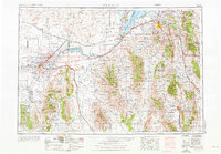
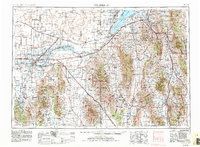
Historical Maps of Pocatello Through Time
5 maps found