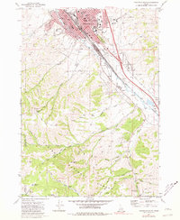
1971 Map of Pocatello South
USGS Topo · Published 1981About this map
Pocatello anchors the northern reaches of this map, showcasing its growth as an Idaho education and transportation hub during the early 1970s. The sprawling campus of Idaho State University sits at the base of Red Hill, while the Union Pacific railroad corridor dictates the city's alignment alongside the Portneuf River. Local infrastructure is highly detailed, featuring landmarks such as St Anthony Hospital, Bannock Memorial Hospital, and a network of neighborhood schools like Irving Jr HS and Emerson Sch. To the south, the city gives way to the high elevations of the Caribou National Forest. Here, the landscape is defined by peaks like Kinport Peak and Gibson Mtn, with numerous drainage systems including Mink Creek and Johnny Creek cutting through the terrain. This map captures the transition from urban density to the protected backcountry of the Power County and Bannock County line.
Find a feature on this map
70 named features on this map. Tap any name to fly to it.
Don’t see what you’re looking for? This feature index may not catch every label — zoom into the map to look around manually.
Map Details
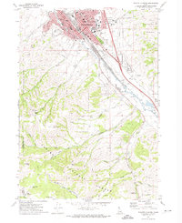
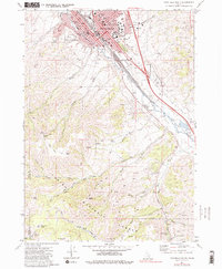
Editions of this 1971 Pocatello South Map
3 editions found
Other maps of this area

1934 · Michaud
USGS Topo · 1:62,500

1937 · Pocatello
USGS Topo · 1:48,000

1937 · Michaud
USGS Topo · 1:62,500

1938 · Pauline
USGS Topo · 1:48,000

1944 · Pocatello
USGS Topo · 1:62,500

1944 · Arbon
USGS Topo · 1:62,500

1954 · Pocatello
USGS Topo · 1:250,000

1958 · Pocatello
USGS Topo · 1:250,000

1968 · Clifton Creek
USGS Topo · 1:24,000
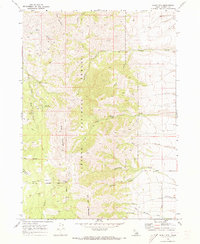
1968 · Scout Mtn
USGS Topo · 1:24,000