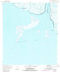
1970 Map of Point Au Fer NE
USGS Topo · Published 1986About this map
The Lower Atchafalaya River flows into the expansive Atchafalaya Bay in this 1970 coastal survey, capturing the dynamic interface of the Louisiana marshlands before later environmental shifts. The landscape is defined by a network of tidal passes and bayous, most notably Shell Island Pass and Little Hog Bayou, which weave between low-lying landmasses like Shell Island and Deer Island. While largely uninhabited by permanent settlements, the area shows significant industrial activity through various Pipeline corridors and a Canal cutting through the marsh.
Find a feature on this map
16 named features on this map. Tap any name to fly to it.
Don’t see what you’re looking for? This feature index may not catch every label — zoom into the map to look around manually.
Map Details
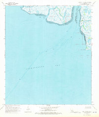
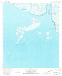
Editions of this 1970 Point Au Fer NE Map
3 editions found
Other maps of this area

1932 · Lake Decade
USGS Topo · 1:62,500

1935 · Belle Isle
USGS Topo · 1:31,680

1935 · Morgan City
USGS Topo · 1:62,500

1941 · Belle Isle
USGS Topo · 1:62,500

1945 · New Orleans
USGS Topo · 1:250,000

1954 · Morgan City
USGS Topo · 1:62,500

1954 · Belle Isle
USGS Topo · 1:62,500

1957 · Lake Decade
USGS Topo · 1:62,500

1957 · Point Au Fer
USGS Topo · 1:62,500

1963 · New Orleans
USGS Topo · 1:250,000