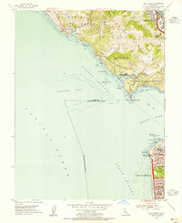
1954 Map of Point Bonita
USGS Topo · Published 1955About this map
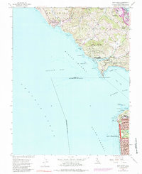
Point Bonita and its historic Lighthouse stand as the primary sentinels at the entrance to the Golden Gate in this mid-1950s survey. The landscape is heavily defined by cold-war era coastal defense, showing the expansive footprints of the Fort Cronkhite Military Reservation and Fort Barry Military Reservation guarding the Bonita Channel. Across the water, the northwestern edge of San Francisco is meticulously gridded, featuring the northern reaches of Golden Gate Park and landmarks such as the Cliff House near Point Lobos.
Find a feature on this map
74 named features on this map. Tap any name to fly to it.
Don’t see what you’re looking for? This feature index may not catch every label — zoom into the map to look around manually.
Map Details
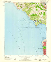
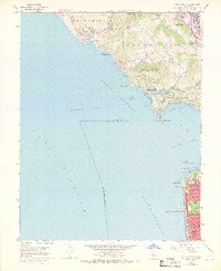
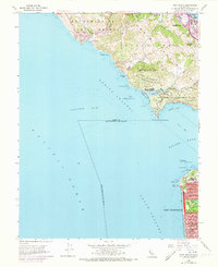
Editions of this 1954 Point Bonita Map
6 editions found
Other maps of this area

1892 · San Mateo
USGS Topo · 1:62,500

1895 · San Francisco
USGS Topo · 1:62,500

1896 · San Mateo
USGS Topo · 1:62,500

1897 · Tamalpais
USGS Topo · 1:62,500

1899 · San Francisco
USGS Topo · 1:62,500

1899 · San Mateo
USGS Topo · 1:62,500

1915 · San Mateo
USGS Topo · 1:62,500

1915 · San Francisco
USGS Topo · 1:62,500

1939 · San Mateo
USGS Topo · 1:62,500

1941 · Tamalpais
USGS Topo · 1:62,500