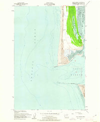
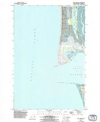
1955 Map of Point Brown
USGS Topo · Published 1962About this map
Point Brown forms a sharp coastal divide where the Pacific Ocean meets the entrance of Grays Harbor, as recorded in this mid-1950s hydrographic and topographic survey. The landscape is defined by massive shifting Sand Dunes and the engineering of the North Jetty, which protects the harbor channel. Inland from the dunes, the settlement of Jetty Camp and the small station at Brown appear alongside Duck Lake, a freshwater feature surrounded by marshland. On the opposite side of the harbor mouth, Pt Chehalis and the Coast Guard Reservation stand watch over the shifting shoals and expansive Tidal Flats. This map captures the area before the extensive modern developments took hold, showing a landscape still dominated by natural sedimentation and maritime infrastructure including a Submerged Jetty and various navigational Lights.
Find a feature on this map
19 named features on this map. Tap any name to fly to it.
Don’t see what you’re looking for? This feature index may not catch every label — zoom into the map to look around manually.
Map Details
Editions of this 1955 Point Brown Map
6 editions found
Other maps of this area

1938 · Moclips
USGS Topo · 1:62,500

1941 · Moclips
USGS Topo · 1:62,500

1941 · Grayland
USGS Topo · 1:62,500

1943 · Copalis Beach
USGS Topo · 1:250,000

1951 · Copalis Beach
USGS Topo · 1:250,000

1955 · Point Brown
USGS Topo · 1:24,000

1955 · Copalis Beach
USGS Topo · 1:24,000

1956 · Copalis Crossing
USGS Topo · 1:24,000
1956 · Westport
USGS Topo · 1:24,000
1956 · Grayland
USGS Topo · 1:24,000