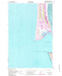
1955 Map of Point Brown
USGS Topo · Published 1984About this map
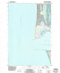
Point Brown marks the entrance to Grays Harbor, where the Pacific coast meets a network of tidal flats and protected waters. Originally mapped in 1955 and updated with revisions in the 1980s, this sheet reveals the residential development of Ocean Shores and the smaller settlement of Oyhut on the peninsula. The land is defined by water, from the elongated Duck Lake to the vast Tidal Flat of North Bay. The maritime character of the region is evident in the presence of a Light and extensive engineering works, including the North Jetty, South Jetty, and a Submerged Jetty. Conservation areas like the Oyhut Wildlife Recreation Area contrast with the grid of coastal streets, while Sand Dunes dominate the southern reach near Pt Chehalis and Westhaven State Park.
Find a feature on this map
25 named features on this map. Tap any name to fly to it.
Don’t see what you’re looking for? This feature index may not catch every label — zoom into the map to look around manually.
Map Details
Editions of this 1955 Point Brown Map
6 editions found
Other maps of this area

1938 · Moclips
USGS Topo · 1:62,500

1941 · Moclips
USGS Topo · 1:62,500

1941 · Grayland
USGS Topo · 1:62,500

1943 · Copalis Beach
USGS Topo · 1:250,000

1951 · Copalis Beach
USGS Topo · 1:250,000

1955 · Point Brown
USGS Topo · 1:24,000

1955 · Copalis Beach
USGS Topo · 1:24,000

1956 · Copalis Crossing
USGS Topo · 1:24,000
1956 · Westport
USGS Topo · 1:24,000
1956 · Grayland
USGS Topo · 1:24,000