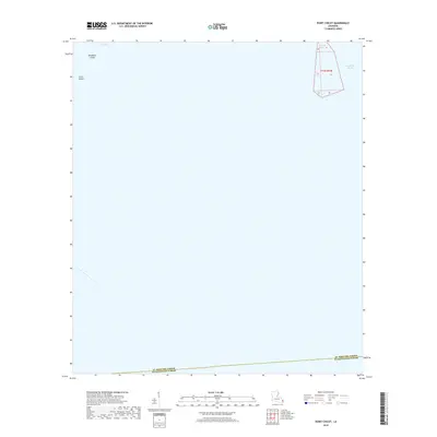
2018 Map of Point Chicot
USGS Topo · Published 2018About this map
Deadman Island and Grass Island stand as small landforms within the expansive waters of the Louisiana coast, where the marsh meets the open sea. This maritime landscape is defined by the shifting boundaries of Eloi Bay and the wide reaches of Chandeleur Sound. At the eastern edge, Chicot Pass provides a navigable corridor through the shoals and islands, a critical waterway for those traversing the outer marshes. The map also records the jurisdictional limit between St. Bernard Parish and Plaquemines Parish, a boundary that cuts across the open water and fragmentary wetlands. This survey provides a precise view of the coastal geography before the continued effects of subsidence and erosion further alter these low-lying islands.
Find a feature on this map
7 named features on this map. Tap any name to fly to it.
Don’t see what you’re looking for? This feature index may not catch every label — zoom into the map to look around manually.
Map Details
Editions of this 2018 Point Chicot Map
This is the sole edition of this map. No revisions or reprints were ever made.
Other maps of this area

1893 · La Fortuna
USGS Topo · 1:62,500

1893 · Chandeleur
USGS Topo · 1:62,500

1895 · Bodreau
USGS Topo · 1:62,500

1935 · Morgan Harbor
USGS Topo · 1:31,680

1935 · Lake Athanasio
USGS Topo · 1:31,680
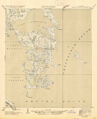
1947 · Lake Athanasio
USGS Topo · 1:31,680
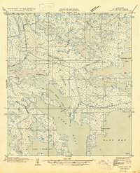
1947 · Lake Eloi
USGS Topo · 1:31,680
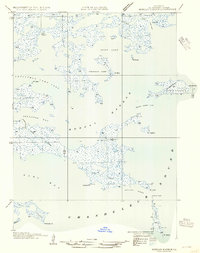
1954 · Morgan Harbor
USGS Topo · 1:31,680
1954 · Lake Eloi
USGS Topo · 1:31,680
1955 · Morgan Harbor
USGS Topo · 1:24,000