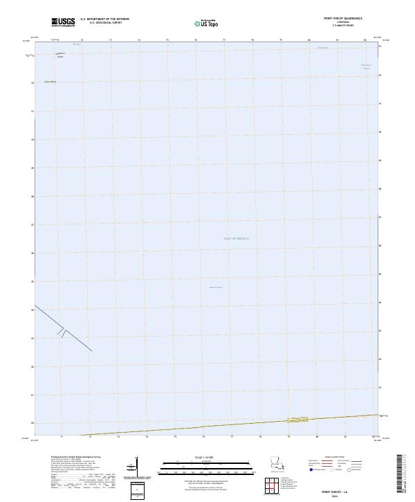
2024 Map of Point Chicot
USGS Topo · Published 2024About this map
Breton Sound and the surrounding coastal waters dominate this maritime landscape in southeastern Louisiana. The map charts a transition between the open Gulf of Mexico and the inner reaches of Eloi Bay and Chandeleur Sound. At the northern edge, small landmasses like Deadman Island and Grass Island provide the only topographic relief in a region otherwise defined by the sea. The boundary between St. Bernard Parish and Plaquemines Parish runs across the southern waters, marking a political division in an area largely devoid of human infrastructure. The presence of Public Land Survey System grids, such as t15s r19e, indicates how these coastal waters and submerged lands are formally partitioned for administrative and resource management purposes.
Find a feature on this map
15 named features on this map. Tap any name to fly to it.
Don’t see what you’re looking for? This feature index may not catch every label — zoom into the map to look around manually.
Map Details
Editions of this 2024 Point Chicot Map
This is the sole edition of this map. No revisions or reprints were ever made.
Other maps of this area

1893 · La Fortuna
USGS Topo · 1:62,500

1893 · Chandeleur
USGS Topo · 1:62,500

1895 · Bodreau
USGS Topo · 1:62,500

1935 · Morgan Harbor
USGS Topo · 1:31,680

1935 · Lake Athanasio
USGS Topo · 1:31,680
1947 · Lake Athanasio
USGS Topo · 1:31,680
1947 · Lake Eloi
USGS Topo · 1:31,680
1954 · Morgan Harbor
USGS Topo · 1:31,680
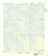
1954 · Lake Eloi
USGS Topo · 1:31,680
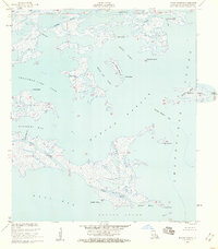
1955 · Morgan Harbor
USGS Topo · 1:24,000