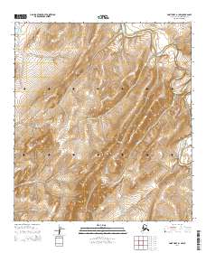
2014 Map of Point Hope A-1 NW
USGS Topo · Published 2014About this map
Sigrikpak Ridge dominates the central landscape of this North Slope terrain, acting as a drainage divide for several remote waterways. To the northeast, the Kukpuk River winds through the coastal plain, receiving flow from Wolf Cr and Battery Cr. This 2014 survey reveals a complex hydrological network where named features like Phosphorite Cr and Niyiklik Cr carve deep paths through the unpopulated tundra.
Find a feature on this map
13 named features on this map. Tap any name to fly to it.
Don’t see what you’re looking for? This feature index may not catch every label — zoom into the map to look around manually.
Map Details
Editions of this 2014 Point Hope A-1 NW Map
This is the sole edition of this map. No revisions or reprints were ever made.
Other maps of this area

1952 · Point Hope
USGS Topo · 1:250,000

1952 · Point Hope A-2
USGS Topo · 1:63,360

1955 · Point Hope
USGS Topo · 1:250,000

1955 · Point Hope A-1
USGS Topo · 1:63,360

1955 · Point Hope B-1
USGS Topo · 1:63,360

1955 · Point Hope B-2
USGS Topo · 1:63,360

1965 · Point Hope
USGS Topo · 1:250,000
2014 · Point Hope A-2 SE
USGS Topo · 1:25,000
2014 · Point Hope A-1 SW
USGS Topo · 1:25,000
2014 · Point Hope B-2 SE
USGS Topo · 1:25,000