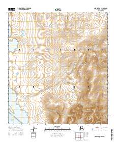
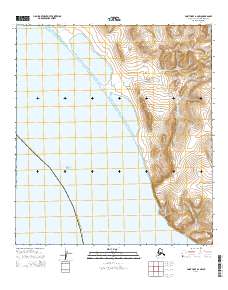
2014 Map of Point Hope B-2 SW
USGS Topo · Published 2014About this map
Chukchi Sea coastal waters and the high tundra of the North Slope define this remote arctic landscape. The shoreline is marked by the Ayautak Lagoon and the settlement of Pingucheak, positioned where the maritime environment meets the inland drainage systems. The terrain transitions from the low-lying Lake Makpik area toward the rising elevations of the Kemegrak Hills in the southeast. Several seasonal waterways, including Nalakaehak Cr, Kunuk Cr, and Ilyirak Cr, carve through the permafrost-underlain ground. This 2014 survey documents the geographic relationship between the traditional coastal landing sites and the interior hunting grounds, reflecting a land where physical geography dictates human movement and habitation patterns.
Find a feature on this map
14 named features on this map. Tap any name to fly to it.
Don’t see what you’re looking for? This feature index may not catch every label — zoom into the map to look around manually.
Map Details
Editions of this 2014 Point Hope B-2 SW Map
This is the sole edition of this map. No revisions or reprints were ever made.
Other maps of this area

1952 · Point Hope
USGS Topo · 1:250,000

1952 · Point Hope A-2
USGS Topo · 1:63,360

1952 · Point Hope B-3
USGS Topo · 1:63,360

1955 · Point Hope
USGS Topo · 1:250,000

1955 · Point Hope B-2
USGS Topo · 1:63,360

1965 · Point Hope
USGS Topo · 1:250,000
2014 · Point Hope B-3 SE
USGS Topo · 1:25,000
2014 · Point Hope B-2 NW
USGS Topo · 1:25,000
2014 · Point Hope B-2 SE
USGS Topo · 1:25,000
2014 · Point Hope A-2 NW
USGS Topo · 1:25,000