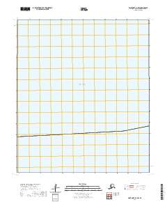
2020 Map of Point Hope D-1 NW
USGS Topo · Published 2020About this map
Chukchi Sea waters dominate this remote northern reach, where the open expanse of the Arctic meets the northwestern coast of Alaska. Located within the North Slope Borough, the map captures a strictly maritime and coastal environment near the edge of the continent. The only terrestrial markings appear along the eastern margin, delineated by the Public Land Survey System as T6s R56w. This grid system divides the coastal strip into sections including 6, 7, 18, and 31. Because the area lacks named settlements, roads, or geographic landmarks beyond the sea itself, the sheet serves primarily to document the precise coastal boundaries and township divisions at the start of the 2020s.
Find a feature on this map
8 named features on this map. Tap any name to fly to it.
Don’t see what you’re looking for? This feature index may not catch every label — zoom into the map to look around manually.
Map Details
Editions of this 2020 Point Hope D-1 NW Map
This is the sole edition of this map. No revisions or reprints were ever made.
Other maps of this area

1952 · Point Hope
USGS Topo · 1:250,000

1952 · Point Hope D-1
USGS Topo · 1:63,360

1952 · Point Hope D-2
USGS Topo · 1:63,360

1955 · Point Hope
USGS Topo · 1:250,000

1965 · Point Hope
USGS Topo · 1:250,000
2014 · Point Hope D-1 SE
USGS Topo · 1:25,000
2014 · Point Hope D-1 SW
USGS Topo · 1:25,000
2014 · Point Hope D-2 SE
USGS Topo · 1:25,000
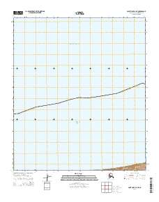
2014 · Point Hope D-1 NE
USGS Topo · 1:25,000
2020 · Point Hope D-2 NE
USGS Topo · 1:25,000