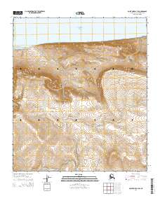
2014 Map of Point Hope D-1 SW
USGS Topo · Published 2014About this map
Sapumik Ridge and the Ayugatak Hills define the northern Arctic landscape of this coastal survey along the Chukchi Sea. The terrain is characterized by a series of significant drainage systems, including Isuk Cr and the branching Nigiktlik Cr, which flow through the coastal tundra toward the northwestern shore. The placement of Ayugatak Lagoon at the edge of the hills suggests a complex maritime boundary where seasonal melt and coastal tides interact.
Find a feature on this map
15 named features on this map. Tap any name to fly to it.
Don’t see what you’re looking for? This feature index may not catch every label — zoom into the map to look around manually.
Map Details
Editions of this 2014 Point Hope D-1 SW Map
This is the sole edition of this map. No revisions or reprints were ever made.
Other maps of this area

1952 · Point Hope
USGS Topo · 1:250,000

1952 · Point Hope D-1
USGS Topo · 1:63,360

1952 · Point Hope D-2
USGS Topo · 1:63,360

1955 · Point Hope
USGS Topo · 1:250,000

1955 · Point Hope C-1
USGS Topo · 1:63,360

1955 · Point Hope C-2
USGS Topo · 1:63,360

1965 · Point Hope
USGS Topo · 1:250,000
2014 · Point Hope C-1 NW
USGS Topo · 1:25,000
2014 · Point Hope C-1 NE
USGS Topo · 1:25,000
2014 · Point Hope D-1 SE
USGS Topo · 1:25,000