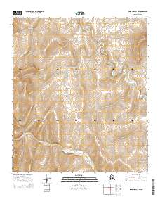
2014 Map of Point Hope C-1 NW
USGS Topo · Published 2014About this map
South Aluk Hill rises over this remote landscape of the North Slope, overlooking a drainage system defined by the winding paths of Oligavik Cr and Tungnak Cr. The topography here is characterized by subtle elevation changes across a high-latitude wilderness, where the North American Vertical Datum of 1988 records a landscape shaped by permafrost and drainage patterns. The absence of roads or permanent structures within this portion of the Point Hope C-1 NW quadrangle highlights the preservation of the natural terrain during the early 21st century. Instead, the area is defined by the strict boundaries of the Public Land Survey System, including t8s r57w and t9s r58w, which organize this vast expanse of the Alaskan interior for resource management and conservation.
Find a feature on this map
8 named features on this map. Tap any name to fly to it.
Don’t see what you’re looking for? This feature index may not catch every label — zoom into the map to look around manually.
Map Details
Editions of this 2014 Point Hope C-1 NW Map
This is the sole edition of this map. No revisions or reprints were ever made.
Other maps of this area

1952 · Point Hope
USGS Topo · 1:250,000

1952 · Point Hope D-1
USGS Topo · 1:63,360

1952 · Point Hope D-2
USGS Topo · 1:63,360

1955 · Point Hope
USGS Topo · 1:250,000

1955 · Point Hope C-1
USGS Topo · 1:63,360

1955 · Point Hope C-2
USGS Topo · 1:63,360

1965 · Point Hope
USGS Topo · 1:250,000
2014 · Point Hope C-1 NE
USGS Topo · 1:25,000
2014 · Point Hope D-1 SE
USGS Topo · 1:25,000
2014 · Point Hope C-1 SW
USGS Topo · 1:25,000