
1965 Map of Point Hope
USGS Topo · Published 1965About this map
Point Hope and the surrounding coastline of the Chukchi Sea define this mid-1960s topographic study. The settlement pattern reflects the area's ancient and modern history, with contemporary dwellings at Wevok contrasting against the remnants of Jabbertown. On the northern coast, the Cape Lisburne Aerodrome serves as a vital infrastructure point near Cape Lisburne.
Find a feature on this map
83 named features on this map. Tap any name to fly to it.
Don’t see what you’re looking for? This feature index may not catch every label — zoom into the map to look around manually.
Map Details
Editions of this 1965 Point Hope Map
This is the sole edition of this map. No revisions or reprints were ever made.
Other maps of this area

1951 · De Long Mountains
USGS Topo · 1:250,000

1951 · Noatak
USGS Topo · 1:250,000

1951 · Point Lay
USGS Topo · 1:250,000

1952 · Point Hope
USGS Topo · 1:250,000
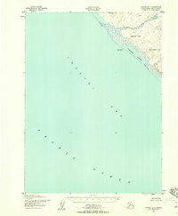
1952 · Noatak D-7
USGS Topo · 1:63,360

1952 · Point Hope A-2
USGS Topo · 1:63,360

1952 · Point Hope B-3
USGS Topo · 1:63,360
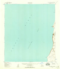
1952 · Point Hope C-3
USGS Topo · 1:63,360

1952 · Point Hope D-1
USGS Topo · 1:63,360

1952 · Point Hope D-2
USGS Topo · 1:63,360