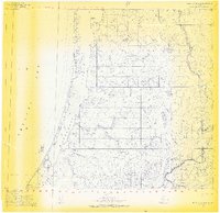
1955 Map of Point Lay B-2 & 3
USGS Topo · Published 1969About this map
Naokok (Abandoned) sits as a silent marker of former habitation on the narrow barrier islands separating the Kasegaluk Lagoon from the open Chukchi Sea. This 1955 survey captures a landscape of transition where the tundra meets the Arctic coast, dominated by the winding course of the Kukpowruk River and its intricate drainage patterns. The presence of a Winter Trail running parallel to the shoreline indicates the seasonal movement and traditional transport routes essential for survival in the North Slope. Between the mainland and the sea, landmarks like Naokok Pass and tidal features such as Akhaurak Creek illustrate the hydrologic complexity of the lagoon system, providing a detailed record of the coastal geography before modern changes to the shoreline.
Find a feature on this map
10 named features on this map. Tap any name to fly to it.
Don’t see what you’re looking for? This feature index may not catch every label — zoom into the map to look around manually.
Map Details
Editions of this 1955 Point Lay B-2 & 3 Map
3 editions found
Other maps of this area

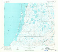
1951 · Point Lay
USGS Topo · 1:250,000

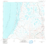
1955 · Point Lay
USGS Topo · 1:250,000

1955 · Point Lay B-1
USGS Topo · 1:63,360

1955 · Point Lay C-1
USGS Topo · 1:63,360

1955 · Point Lay A-1
USGS Topo · 1:63,360
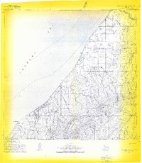
1955 · Point Lay A-3 & 4
USGS Topo · 1:63,360
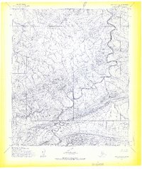
1955 · Point Lay A-2
USGS Topo · 1:63,360
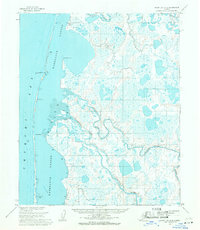
1955 · Point Lay C-2
USGS Topo · 1:63,360
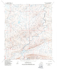
1956 · Point Lay A-2
USGS Topo · 1:63,360

1965 · Point Lay
USGS Topo · 1:250,000