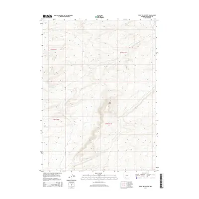
2015 Map of Point of Rocks SE
USGS Topo · Published 2015About this map
Black Buttes rise as a prominent geological feature in this portion of Sweetwater County, defining the high-desert topography of southern Wyoming. This 2015 survey details a landscape shaped by intermittent drainage systems, most notably Black Butte Cr and Bitter Cr, which carve through the arid terrain. The map serves as a precise record of the Public Land Survey System divisions, documenting the intersections of townships t19n r102w, t19n r101w, t18n r102w, and t18n r101w. These cadastral markers are essential for identifying historical land parcels and resource claims in a region defined by its expansive open spaces and significant elevation changes.
Find a feature on this map
7 named features on this map. Tap any name to fly to it.
Don’t see what you’re looking for? This feature index may not catch every label — zoom into the map to look around manually.
Map Details
Editions of this 2015 Point of Rocks SE Map
This is the sole edition of this map. No revisions or reprints were ever made.
Other maps of this area

1954 · Rock Springs
USGS Topo · 1:250,000

1958 · Rock Springs
USGS Topo · 1:250,000

1962 · Rock Springs
USGS Topo · 1:250,000

1968 · Cooper Ridge NE
USGS Topo · 1:24,000

1968 · Bitter Creek NW
USGS Topo · 1:24,000

1968 · Point Of Rocks SW
USGS Topo · 1:24,000

1968 · Sand Butte Rim NW
USGS Topo · 1:24,000

1968 · Black Buttes
USGS Topo · 1:24,000

1968 · Point Of Rocks
USGS Topo · 1:24,000

1968 · Camel Rock
USGS Topo · 1:24,000