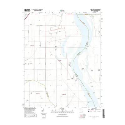
2015 Map of Point Pleasant
USGS Topo · Published 2015About this map
Mississippi River bends and backwaters define this riverine landscape where the borders of Missouri, Tennessee, and Kentucky meet. The tiny settlement of Point Pleasant sits perched near the riverbank, surrounded by the shifting geography of the Pecan Chute and Point Pleasant Chute. For genealogists, the map is particularly rich in family-named burial grounds, including the Le Sieur Cemetery, Kimes Cemetery, and Riddles Cemetery, many located on the high ground of Scrub Ridge and Barnes Ridge. The complex hydrology of the floodplain is evident in features like Tiptonville Chute and the numerous towheads, such as Marr Towhead and Bixby Towhead, which illustrate the constant movement of the river's main channel. Inland, the landscape is organized by a grid of county roads and drainage features like Portage Open Bay, supporting the agricultural character of the region south of the Linda community.
Find a feature on this map
75 named features on this map. Tap any name to fly to it.
Don’t see what you’re looking for? This feature index may not catch every label — zoom into the map to look around manually.
Map Details
Editions of this 2015 Point Pleasant Map
This is the sole edition of this map. No revisions or reprints were ever made.
Other maps of this area

1925 · Reelfoot Lake
USGS Topo · 1:62,500

1939 · Reelfoot Lake
USGS Topo · 1:62,500

1939 · Portageville
USGS Topo · 1:62,500

1939 · New Madrid
USGS Topo · 1:62,500

1939 · Bayouville
USGS Topo · 1:62,500

1951 · New Madrid SE
USGS Topo · 1:24,000

1951 · Hubbard Lake
USGS Topo · 1:24,000

1954 · New Madrid
USGS Topo · 1:62,500

1955 · Portageville
USGS Topo · 1:62,500

1955 · Bayouville
USGS Topo · 1:62,500