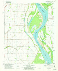
1971 Map of Point Pleasant
USGS Topo · Published 1973About this map
The Mississippi River creates a complex, shifting landscape of water and silt along this stretch of the Missouri-Tennessee-Kentucky border region. The settlement of Point Pleasant sits directly on the riverbank, serving as a focal point for a community defined by its proximity to the water and its agricultural heritage on the fertile grounds of Le Sieur and La Font. The topography is shaped by historical river movements, evidenced by Point Pleasant Chute, Marr Towhead, and Darnall Towhead.
Find a feature on this map
46 named features on this map. Tap any name to fly to it.
Don’t see what you’re looking for? This feature index may not catch every label — zoom into the map to look around manually.
Map Details
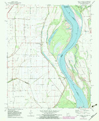
Editions of this 1971 Point Pleasant Map
2 editions found
Other maps of this area

1925 · Reelfoot Lake
USGS Topo · 1:62,500

1939 · Reelfoot Lake
USGS Topo · 1:62,500

1939 · Portageville
USGS Topo · 1:62,500

1939 · New Madrid
USGS Topo · 1:62,500

1939 · Bayouville
USGS Topo · 1:62,500

1951 · New Madrid SE
USGS Topo · 1:24,000

1951 · Hubbard Lake
USGS Topo · 1:24,000

1954 · New Madrid
USGS Topo · 1:62,500

1955 · Portageville
USGS Topo · 1:62,500

1955 · Bayouville
USGS Topo · 1:62,500