
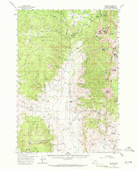
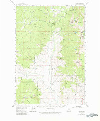
1959 Map of Polaris
USGS Topo · Published 1961About this map
Elkhorn Hot Springs and the surrounding high-altitude terrain of the Beaverhead National Forest define this mid-century survey of Beaverhead County. The map captures a mountain economy built on both extraction and emerging recreation, with the Rainy Mountain Ski Area established near a cluster of significant mining operations like the Old Elkhorn Mine, Magna Mine, and Polaris Mine.
Find a feature on this map
111 named features on this map. Tap any name to fly to it.
Don’t see what you’re looking for? This feature index may not catch every label — zoom into the map to look around manually.
Map Details
Editions of this 1959 Polaris Map
3 editions found
Other maps of this area

1893 · Dillon
USGS Topo · 1:250,000

1952 · Bannack
USGS Topo · 1:24,000

1952 · Torrey Mountain
USGS Topo · 1:24,000

1952 · Ermont
USGS Topo · 1:24,000

1955 · Dillon
USGS Topo · 1:250,000

1957 · Dillon
USGS Topo · 1:250,000

1958 · Dillon
USGS Topo · 1:250,000

1958 · Vipond Park
USGS Topo · 1:62,500

1959 · Grant
USGS Topo · 1:62,500

1962 · Dillon
USGS Topo · 1:250,000