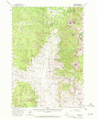
1959 Map of Polaris
USGS Topo · Published 1972About this map
Beaverhead National Forest defines this high-altitude landscape in the late 1950s, where the economy of the Pioneer Mountains balanced resource extraction with early recreational development. The presence of the Rainy Mountain Ski Area and Crystal Park signals the transition toward seasonal tourism, while numerous mining operations such as the Elkhorn Mine and Silver King Mine speak to the region's enduring subterranean interests. Small-scale human occupancy is concentrated around the settlement of Polaris and its associated Polaris Sch, alongside more remote outposts like the Old Pinkerton Homestead and Circle-S Ranch. The map traces a network of rugged Jeep Trails and the historic Old Jim Creek Trail through the drainages of Grasshopper Creek and Harrison Creek, providing a detailed look at the infrastructure required for prospecting and ranching in this high-country environment.
Find a feature on this map
105 named features on this map. Tap any name to fly to it.
Don’t see what you’re looking for? This feature index may not catch every label — zoom into the map to look around manually.
Map Details
Editions of this 1959 Polaris Map
3 editions found
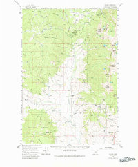
Other maps of this area

1893 · Dillon
USGS Topo · 1:250,000

1952 · Bannack
USGS Topo · 1:24,000

1952 · Torrey Mountain
USGS Topo · 1:24,000

1952 · Ermont
USGS Topo · 1:24,000

1955 · Dillon
USGS Topo · 1:250,000

1957 · Dillon
USGS Topo · 1:250,000

1958 · Dillon
USGS Topo · 1:250,000

1958 · Vipond Park
USGS Topo · 1:62,500

1959 · Polaris
USGS Topo · 1:62,500

1959 · Grant
USGS Topo · 1:62,500