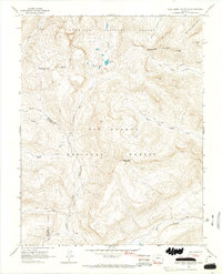
1964 Map of Pole Creek Mountain
USGS Topo · Published 1967About this map
The Continental Divide winds across this high-altitude landscape of the mid-1960s, marking the boundary where the Gunnison National Forest meets the Rio Grande National Forest. Dominating the central topography is Pole Creek Mountain, which overlooks the headwaters of the Rio Grande and Pole Creek. The map documents an intricate network of primitive transportation routes essential to the high country economy, including the Garita Stock Driveway and the Stock Driveway for moving livestock across the divide.
Find a feature on this map
32 named features on this map. Tap any name to fly to it.
Don’t see what you’re looking for? This feature index may not catch every label — zoom into the map to look around manually.
Map Details
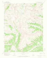
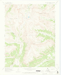
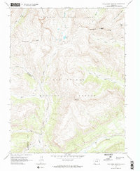
Editions of this 1964 Pole Creek Mountain Map
4 editions found
Other maps of this area

1897 · Silverton
USGS Topo · 1:62,500

1900 · Needle Mountains
USGS Topo · 1:62,500

1901 · Silverton
USGS Topo · 1:62,500

1902 · Needle Mountains
USGS Topo · 1:62,500

1902 · Silverton
USGS Topo · 1:62,500

1905 · San Cristobal
USGS Topo · 1:125,000

1907 · San Cristobal
USGS Topo · 1:125,000

1945 · Durango
USGS Topo · 1:250,000

1953 · Durango
USGS Topo · 1:250,000

1954 · Durango
USGS Topo · 1:250,000