2023 Map of Polk
USGS Topo · Published 2023About this map
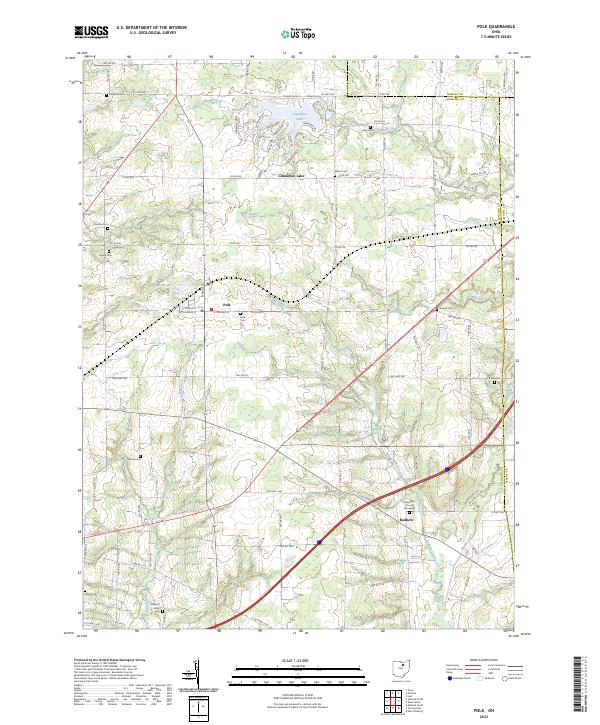
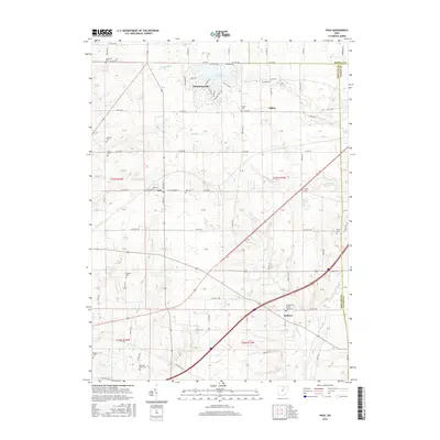
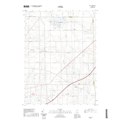
Polk stands as the central hub of this northern Ohio landscape, where the agricultural grid meets the drainage systems of Redhaw Creek and Katotawa Creek. The area is notably dense with family and community burial grounds, preserving names like Hopewell Cem, King Cem, and Chilcote Cem across the township lines. To the north, the modern residential development around Cinnamon Lake introduces a concentrated network of streets with botanical and spirits-inspired names such as Ginko Dr and Sangria Dr.
Find a feature on this map
82 named features on this map. Tap any name to fly to it.
Don’t see what you’re looking for? This feature index may not catch every label — zoom into the map to look around manually.
Map Details
Editions of this 2023 Polk Map
This is the sole edition of this map. No revisions or reprints were ever made.
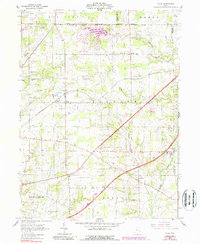
Historical Maps of Polk Through Time
6 maps found
Featured Locations
- Jackson Township, OH
- Perry Township, OH
- Chester Township, OH
- Congress Township, OH
- Polk, Jackson Township