Loading...
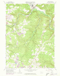
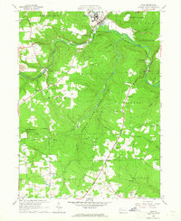
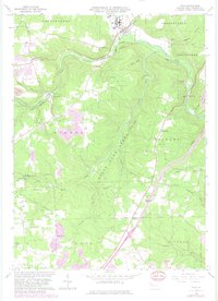
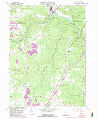
Loading map...1963 Map of Polk
USGS Topo · Published 1973About this map
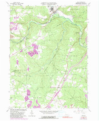
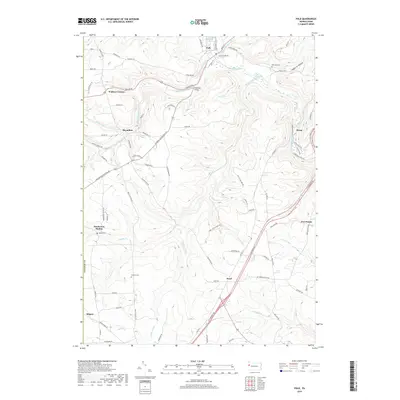
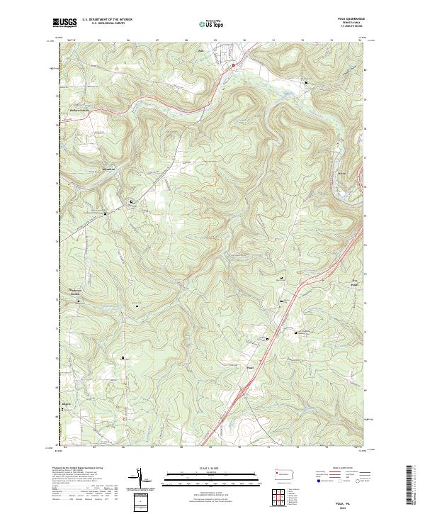
The Pennsylvania State Hospital and School dominates the northern landscape near the borough of Polk, where the corporate boundary meets the winding course of French Creek. This early 1960s survey illustrates a rural Pennsylvania landscape defined by its extractive industries and institutional presence, with numerous oil wells and gas wells dotting the hillsides around Raymilton. The industrial character is further emphasized by the Penn Central rail lines and various gravel pits that line the creek valleys.
Find a feature on this map
54 named features on this map. Tap any name to fly to it.
Don’t see what you’re looking for? This feature index may not catch every label — zoom into the map to look around manually.
Map Details
Date Portrayed1963
Date Published1973
PublisherU.S. Geological Survey
Map TypeTopographic
Scale1:24,000
Physical Dimensions21.3 x 27 inches
Editions of this 1963 Polk Map
5 editions found
Historical Maps of Polk Through Time
6 maps found
Featured Locations
Source Details
SourceU.S. Geological Survey
CopyrightPublic Domain