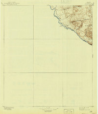
1896 Map of Polvo
USGS Topo · Published 1941About this map
The Rio Grande defines this remote stretch of the international border in Presidio County, as documented by reconnaissance methods in the late nineteenth century. The terrain is dominated by high mesas and a series of deep drainage systems, including Bofecillos Canyon and Rancherias Canyon, which cut through the highlands toward the river. Human presence is concentrated in small outposts and livestock operations along the riverfront and tucked into the draws.
Find a feature on this map
17 named features on this map. Tap any name to fly to it.
Don’t see what you’re looking for? This feature index may not catch every label — zoom into the map to look around manually.
Map Details
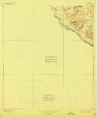
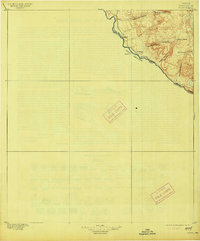
Editions of this 1896 Polvo Map
4 editions found
Other maps of this area

1896 · Ruidosa
USGS Topo · 1:125,000

1896 · Polvo
USGS Topo · 1:125,000

1896 · Shafter
USGS Topo · 1:125,000

1903 · Terlingua
USGS Topo · 1:125,000

1904 · Terlingua
USGS Topo · 1:125,000

1917 · Tascotal Mesa
USGS Topo · 1:62,500

1931 · Lajitas
USGS Topo · 1:62,500

1944 · Tascotal Mesa
USGS Topo · 1:62,500

1959 · Emory Peak
USGS Topo · 1:250,000

1959 · Presidio
USGS Topo · 1:250,000