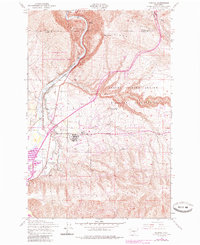
1953 Map of Pomona
USGS Topo · Published 1985About this map
The Yakima River carves a dramatic path through this central Washington landscape, flanked by the sharp elevations of Umtanum Ridge and Yakima Ridge. Originally mapped in the 1950s with revisions through the early 1980s, the terrain shows a sophisticated network of water management, including the Roza Canal, Selah Canal, and the Selah-Moxee Canal, which support the agriculture of the Selah Valley. Settlement is concentrated at Pomona and East Selah, where the Burlington Northern railroad lines parallel the river's course. Extensive land use for conservation and defense is evident, with the L T Murray State Wildlife Recreation Area occupying the northwestern highlands while the Yakima Firing Center Military Reservation dominates the eastern hills. Local landmarks like the Selah-moxie Grange and a Landing Strip provide insights into the mid-century rural infrastructure and community life of the region.
Find a feature on this map
29 named features on this map. Tap any name to fly to it.
Don’t see what you’re looking for? This feature index may not catch every label — zoom into the map to look around manually.
Map Details
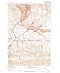
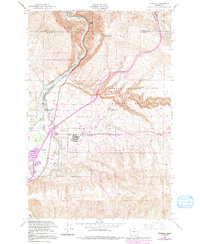
Editions of this 1953 Pomona Map
4 editions found
Other maps of this area

1899 · Ellensburg
USGS Topo · 1:125,000

1901 · Ellensburg
USGS Topo · 1:125,000

1936 · Yakima East
USGS Topo · 1:48,000

1938 · Badger Pocket
USGS Topo · 1:48,000

1941 · Yakima East
USGS Topo · 1:62,500

1943 · Badger Pocket
USGS Topo · 1:62,500

1950 · Yakima
USGS Topo · 1:250,000

1953 · Pomona
USGS Topo · 1:24,000
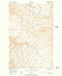
1953 · Badger Gap
USGS Topo · 1:24,000

1953 · Elephant Mountain
USGS Topo · 1:24,000