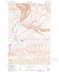
1953 Map of Pomona
USGS Topo · Published 1991About this map
The Yakima River carves a deep path through the high desert of Central Washington, dividing the steep slopes of Umtanum Ridge from the extensive Yakima Firing Center Military Reservation. This 1953 survey, updated through the 1980s, reveals a landscape defined by water management and defense. The river's flow is managed by the Roza Dam, feeding the Moxee Selah Irrigation Canal and Northern Roza Canal that snake along the valley floor to support local agriculture.
Find a feature on this map
27 named features on this map. Tap any name to fly to it.
Don’t see what you’re looking for? This feature index may not catch every label — zoom into the map to look around manually.
Map Details
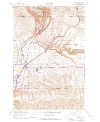
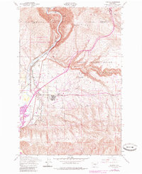
Editions of this 1953 Pomona Map
4 editions found
Other maps of this area

1899 · Ellensburg
USGS Topo · 1:125,000

1901 · Ellensburg
USGS Topo · 1:125,000

1936 · Yakima East
USGS Topo · 1:48,000

1938 · Badger Pocket
USGS Topo · 1:48,000

1941 · Yakima East
USGS Topo · 1:62,500

1943 · Badger Pocket
USGS Topo · 1:62,500

1950 · Yakima
USGS Topo · 1:250,000

1953 · Pomona
USGS Topo · 1:24,000
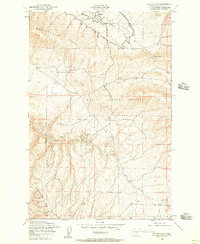
1953 · Badger Gap
USGS Topo · 1:24,000

1953 · Elephant Mountain
USGS Topo · 1:24,000