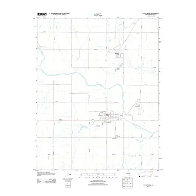
2012 Map of Pond Creek
USGS Topo · Published 2012About this map
The Salt Fork Arkansas River bisects this Grant County landscape, separating the northern settlement of Jefferson from the larger municipal hub of Pond Creek to the south. The area is defined by a rigorous section-line road grid, including n2920 RD and e0200 RD, which serves the agricultural and industrial interests of the region. A notable industrial presence is the East Grant-Pond Creek Oil Field east of the main settlements, reflecting the energy economy that drives the local area alongside its rail and road corridors.
Find a feature on this map
50 named features on this map. Tap any name to fly to it.
Don’t see what you’re looking for? This feature index may not catch every label — zoom into the map to look around manually.
Map Details
Editions of this 2012 Pond Creek Map
This is the sole edition of this map. No revisions or reprints were ever made.
Other maps of this area

1955 · Enid
USGS Topo · 1:250,000

1958 · Enid
USGS Topo · 1:250,000

1968 · Hillsdale
USGS Topo · 1:24,000

1968 · Lamont NW
USGS Topo · 1:24,000

1968 · Hunter
USGS Topo · 1:24,000

1968 · Wakita SE
USGS Topo · 1:24,000

1968 · Kremlin
USGS Topo · 1:24,000

1968 · Medford
USGS Topo · 1:24,000

1968 · Pond Creek
USGS Topo · 1:24,000

1968 · Pond Creek NW
USGS Topo · 1:24,000