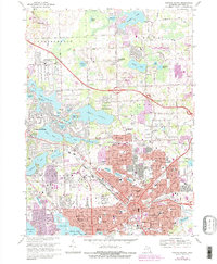
1968 Map of Pontiac North
USGS Topo · Published 1984About this map
The Clinton River watershed defines the geography of northern Oakland County, where suburban expansion meets an dense cluster of glacial kettle lakes. This 1968 study, updated with 1982 aerial photography, captures the intensification of Pontiac as it pushes north into Gingellville and Drayton Plains. The landscape is a mix of high-relief terrain like Pine Knob and scientific landmarks such as the McMath-Hulbert Observatory overlooking Lake Angelus. Notable institutional footprints include the Clinton Valley Center and the Lake Angelus Landing Field, illustrating the varied land use of the era.
Find a feature on this map
101 named features on this map. Tap any name to fly to it.
Don’t see what you’re looking for? This feature index may not catch every label — zoom into the map to look around manually.
Map Details
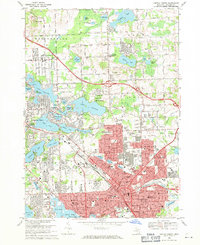
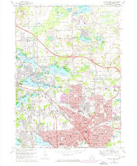
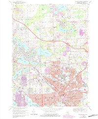
Editions of this 1968 Pontiac North Map
4 editions found
Other maps of this area

1907 · Pontiac
USGS Topo · 1:62,500

1908 · Rochester
USGS Topo · 1:62,500

1936 · Birmingham
USGS Topo · 1:31,680

1936 · Clarkston
USGS Topo · 1:31,680

1936 · Rochester
USGS Topo · 1:31,680

1936 · Walled Lake
USGS Topo · 1:31,680

1936 · Pontiac South
USGS Topo · 1:31,680

1936 · Pontiac North
USGS Topo · 1:31,680

1943 · Clarkston
USGS Topo · 1:24,000

1943 · Pontiac South
USGS Topo · 1:24,000
Featured Places
- Waterford Township, MI
- Pontiac, MI
- Orion Charter Township, MI
- Independence Charter Township, MI
- Auburn Hills, MI