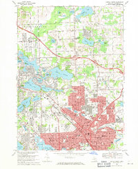
1968 Map of Pontiac North
USGS Topo · Published 1971About this map
The Pontiac State Hospital and the busy hub of Pontiac dominate the southern portion of this landscape, showing a period of intense civic and institutional growth just before the 1970s. The urban grid is dense with neighborhood schools and parks, such as Wisner Sch and Oakland Park, while the Grand Trunk Western railroad cuts through the city center, marking its industrial backbone. This survey captures a moment when the expanding suburban reaches of Drayton Plains and Clintonville were bridging the gap between the historic city core and the lake-dotted hills to the north.
Find a feature on this map
163 named features on this map. Tap any name to fly to it.
Don’t see what you’re looking for? This feature index may not catch every label — zoom into the map to look around manually.
Map Details
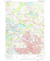
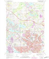
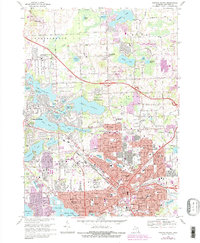
Editions of this 1968 Pontiac North Map
4 editions found
Other maps of this area

1907 · Pontiac
USGS Topo · 1:62,500

1908 · Rochester
USGS Topo · 1:62,500

1936 · Birmingham
USGS Topo · 1:31,680

1936 · Clarkston
USGS Topo · 1:31,680

1936 · Rochester
USGS Topo · 1:31,680

1936 · Walled Lake
USGS Topo · 1:31,680

1936 · Pontiac South
USGS Topo · 1:31,680

1936 · Pontiac North
USGS Topo · 1:31,680

1943 · Clarkston
USGS Topo · 1:24,000

1943 · Pontiac South
USGS Topo · 1:24,000
Featured Places
- Waterford Township, MI
- Pontiac, MI
- Orion Charter Township, MI
- Independence Charter Township, MI
- Auburn Hills, MI