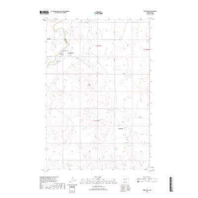
2018 Map of Porcupine
USGS Topo · Published 2018About this map
The Cannonball River defines the northwestern corner of this landscape, marking the boundary between Grant and Sioux counties. The settlement of Porcupine serves as a central hub, where BIA Rte 7 and BIA Rd 7 converge near several local landmarks. This area is characterized by scattered rural communities and high points like Pluss Butte. Local history and genealogy researchers will find significant detail in the cluster of sacred sites near the town center, including the Saint James Catholic Church Cem and the Congregational Cem. To the southeast, the terrain transitions toward Chadwick, while Porcupine Cr meanders through the eastern portion of the quadrangle. The map captures the organized rural layout of the Porcupine District, showing the precise placement of dwellings and the network of section roads such as 34th Ave and 35th Ave that connect these remote homesteads.
Find a feature on this map
22 named features on this map. Tap any name to fly to it.
Don’t see what you’re looking for? This feature index may not catch every label — zoom into the map to look around manually.
Map Details
Editions of this 2018 Porcupine Map
This is the sole edition of this map. No revisions or reprints were ever made.
Other maps of this area

1954 · Bismarck
USGS Topo · 1:250,000

1958 · Bismarck
USGS Topo · 1:250,000

1971 · Shields SW
USGS Topo · 1:24,000

1971 · Froelich Dam
USGS Topo · 1:24,000

1971 · Shields
USGS Topo · 1:24,000

1971 · Solen SW
USGS Topo · 1:24,000

1971 · Porcupine
USGS Topo · 1:24,000

1971 · Timmer
USGS Topo · 1:24,000

1971 · Selfridge
USGS Topo · 1:24,000

1971 · Pamplin Hills
USGS Topo · 1:24,000