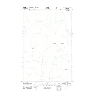
2011 Map of Porphyry Reef
USGS Topo · Published 2011About this map
Teton Pass and Sun River Pass mark the high drainage divides of this Montana wilderness, where the headwaters of several major river systems originate. The landscape is defined by massive geological formations like Porphyry Reef and Washboard Reef, which run alongside high-elevation meadows including Grizzly Park and McDonald Park. This 2011 survey captures the complex drainage patterns of the North Fork Sun River and its numerous tributaries such as Seven-Up Creek and McDonald Creek. The area is devoid of modern settlements, showing instead a network of natural landmarks and ridges, from Corrugate Ridge in the north to Wapiti Ridge in the south, preserving the character of the Flathead County backcountry as it appeared early in the twenty-first century.
Find a feature on this map
26 named features on this map. Tap any name to fly to it.
Don’t see what you’re looking for? This feature index may not catch every label — zoom into the map to look around manually.
Map Details
Editions of this 2011 Porphyry Reef Map
This is the sole edition of this map. No revisions or reprints were ever made.
Other maps of this area

1903 · Saypo
USGS Topo · 1:125,000

1913 · Marias Pass
USGS Topo · 1:125,000

1914 · Heart Butte
USGS Topo · 1:125,000

1918 · Heart Butte
USGS Topo · 1:125,000

1936 · Silvertip
USGS Topo · 1:96,000

1942 · Silvertip
USGS Topo · 1:125,000

1955 · Choteau
USGS Topo · 1:250,000

1957 · Choteau
USGS Topo · 1:250,000

1958 · Choteau
USGS Topo · 1:250,000

1958 · Porphyry Reef
USGS Topo · 1:24,000