
1951 Map of Port Alexander D-5
USGS Topo · Published 1958About this map
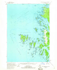
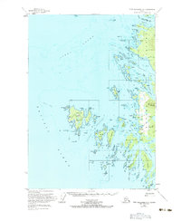
Biorka Island and the complex archipelago of the Taigud Islands anchor this mid-century survey of the southeastern approaches to Sitka Sound. The coastal landscape is defined by its maritime infrastructure and small outposts, including the settlement of Goddard (Hot Springs PO) on the western shore of Baranof Island and the isolated Woodhouse on Biorka. These locations, along with several scattered cabins and a Lighthouse, reflect a period when remote coastal navigation and natural springs drew small populations to the Alexander Archipelago.
Find a feature on this map
101 named features on this map. Tap any name to fly to it.
Don’t see what you’re looking for? This feature index may not catch every label — zoom into the map to look around manually.
Map Details
Editions of this 1951 Port Alexander D-5 Map
Other maps of this area

1948 · Sitka A-5
USGS Topo · 1:63,360

1951 · Sitka A-6
USGS Topo · 1:63,360

1951 · Sitka
USGS Topo · 1:250,000

1951 · Port Alexander C-4
USGS Topo · 1:63,360

1951 · Port Alexander D-4
USGS Topo · 1:63,360

1951 · Port Alexander
USGS Topo · 1:250,000

1951 · Sitka A-4
USGS Topo · 1:63,360

1951 · Sitka A-5
USGS Topo · 1:63,360

1952 · Port Alexander
USGS Topo · 1:250,000

1952 · Sitka
USGS Topo · 1:250,000