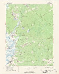
1956 Map of Port Elizabeth
USGS Topo · Published 1957About this map
Maurice River shipping and sand extraction define this mid-century portrait of southern New Jersey. The western edge of the map shows a string of riverfront settlements—Port Elizabeth, Bricksboro, Mauricetown, Dorchester, and Leesburg—connected by the Pennsylvania Reading Seashore Lines and historic thoroughfares like the Old Stage Road. The presence of numerous Gravel Pits and Sand and Gravel Pits along the river and rail corridors points to the region's industrial reliance on glass sands and construction materials.
Find a feature on this map
54 named features on this map. Tap any name to fly to it.
Don’t see what you’re looking for? This feature index may not catch every label — zoom into the map to look around manually.
Map Details
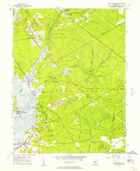
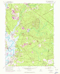
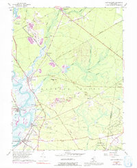
Editions of this 1956 Port Elizabeth Map
4 editions found
Other maps of this area

1888 · Dennisville
USGS Topo · 1:62,500

1890 · Tuckahoe
USGS Topo · 1:62,500

1890 · Maurice Cove
USGS Topo · 1:62,500

1890 · Bridgeton
USGS Topo · 1:62,500

1891 · Maurice Cove
USGS Topo · 1:62,500

1893 · Tuckahoe
USGS Topo · 1:62,500

1894 · Dennisville
USGS Topo · 1:62,500

1894 · Bridgeton
USGS Topo · 1:62,500

1899 · Vineland
USGS Topo · 1:125,000

1918 · Tuckahoe
USGS Topo · 1:62,500