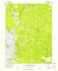
1956 Map of Port Elizabeth
USGS Topo · Published 1957About this map
The Maurice River dictates the landscape of this southern New Jersey region, winding past long-established maritime and industrial riverfront communities. Settled river towns like Mauricetown, Dorchester, and Leesburg line the eastern bank, showing a pattern of development tied to the water's edge. Inland, the influence of the Pennsylvania - Reading Seashore Lines is evident, connecting smaller settlements such as Port Elizabeth and Manumuskin to the wider rail network.
Find a feature on this map
47 named features on this map. Tap any name to fly to it.
Don’t see what you’re looking for? This feature index may not catch every label — zoom into the map to look around manually.
Map Details
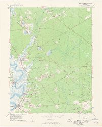
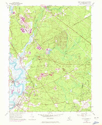
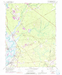
Editions of this 1956 Port Elizabeth Map
4 editions found
Other maps of this area

1888 · Dennisville
USGS Topo · 1:62,500

1890 · Tuckahoe
USGS Topo · 1:62,500

1890 · Maurice Cove
USGS Topo · 1:62,500

1890 · Bridgeton
USGS Topo · 1:62,500

1891 · Maurice Cove
USGS Topo · 1:62,500

1893 · Tuckahoe
USGS Topo · 1:62,500

1894 · Dennisville
USGS Topo · 1:62,500

1894 · Bridgeton
USGS Topo · 1:62,500

1899 · Vineland
USGS Topo · 1:125,000

1918 · Tuckahoe
USGS Topo · 1:62,500