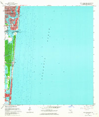
1962 Map of Port Everglades
USGS Topo · Published 1964About this map
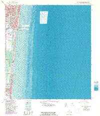
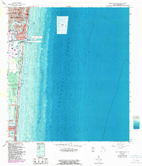
Fort Lauderdale and its intricate network of finger islands and inland waterways define this 1962 coastal landscape. The transition from established neighborhoods like Nurmi Isles and Rio Vista Isles to the industrial activity at Port Everglades illustrates the post-war growth and engineering that shaped the Broward County shoreline. Dredged basins and canal developments are visible throughout Harbor Beach and Harbor Heights, reflecting the era's focus on waterfront residential expansion and maritime commerce. Further south, the map details the northern reaches of Hollywood and the coastal edge of Dania, showing the proximity of the Intracostal Waterway to the Atlantic Ocean. This survey captures a specific moment in South Florida's development when the salt marshes were being rapidly transformed into the modern urban grid.
Find a feature on this map
7 named features on this map. Tap any name to fly to it.
Don’t see what you’re looking for? This feature index may not catch every label — zoom into the map to look around manually.
Map Details
Editions of this 1962 Port Everglades Map
6 editions found
Other maps of this area

1945 · Fort Lauderdale North
USGS Topo · 1:24,000

1947 · North Miami
USGS Topo · 1:24,000

1949 · Fort Lauderdale North
USGS Topo · 1:24,000

1949 · Port Everglades
USGS Topo · 1:24,000

1949 · Fort Lauderdale South
USGS Topo · 1:24,000

1949 · Pompano Beach
USGS Topo · 1:24,000

1950 · North Miami
USGS Topo · 1:24,000

1956 · Miami
USGS Topo · 1:250,000

1956 · West Palm Beach
USGS Topo · 1:250,000

1957 · West Palm Beach
USGS Topo · 1:250,000
Featured Places
- Fort Lauderdale, FL
- Harbor Beach, Fort Lauderdale
- Harbor Heights, Fort Lauderdale
- Nurmi Isles, Fort Lauderdale
- Rio Vista Isles, Fort Lauderdale