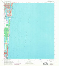
1962 Map of Port Everglades
USGS Topo · Published 1970About this map
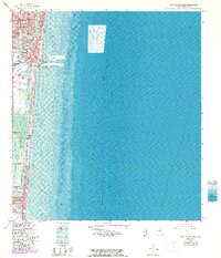
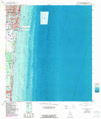
The Port Everglades Turning Basin serves as the industrial and maritime anchor of this coastal survey, where the deep-water harbor meets the Intracoastal Waterway. To the north, the residential fingerprints of Fort Lauderdale are visible through the intricate canal-front developments of Nurmi Isles and Rio Vista Isles. These man-made landforms illustrate the mid-century transformation of the Florida coast into a leisure-oriented landscape, further emphasized by the Bahia-Mar Yacht Center and the Yacht Basin.
Find a feature on this map
47 named features on this map. Tap any name to fly to it.
Don’t see what you’re looking for? This feature index may not catch every label — zoom into the map to look around manually.
Map Details
Editions of this 1962 Port Everglades Map
6 editions found
Other maps of this area

1945 · Fort Lauderdale North
USGS Topo · 1:24,000

1947 · North Miami
USGS Topo · 1:24,000

1949 · Fort Lauderdale North
USGS Topo · 1:24,000

1949 · Port Everglades
USGS Topo · 1:24,000

1949 · Fort Lauderdale South
USGS Topo · 1:24,000

1949 · Pompano Beach
USGS Topo · 1:24,000

1950 · North Miami
USGS Topo · 1:24,000

1956 · Miami
USGS Topo · 1:250,000

1956 · West Palm Beach
USGS Topo · 1:250,000

1957 · West Palm Beach
USGS Topo · 1:250,000
Featured Places
- Fort Lauderdale, FL
- Harbor Beach, Fort Lauderdale
- Harbor Heights, Fort Lauderdale
- Nurmi Isles, Fort Lauderdale
- Rio Vista Isles, Fort Lauderdale