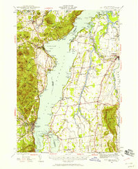
1945 Map of Port Henry
USGS Topo · Published 1958About this map
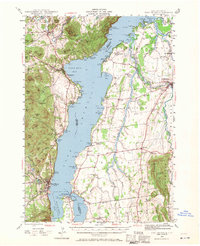
Lake Champlain serves as the central artery for this mid-century portrait of the borderlands between New York and Vermont. The landscape is defined by the narrow passage of the lake, where history remains visible at the Fort Crown Point Ruins and Fort St Frederic Ruins near Chimney Point. To the west, the Adirondack foothills rise sharply through peaks like Bald Peak and Cheney Mtn, while the eastern shore in Addison County unfolds into the agricultural flats of Panton and Addison. The mapping captures a network of rural life tied to the water, from the summer settlements at Basin Harbor to the established Rutland railroad line connecting the valley’s industries. Small-scale local geography is densely documented through numerous family-named landmarks, such as Vanderhoof Sch and Gage Cem, providing a window into the communal structure of these lakeside townships before modern expansion altered the rural character.
Find a feature on this map
158 named features on this map. Tap any name to fly to it.
Don’t see what you’re looking for? This feature index may not catch every label — zoom into the map to look around manually.
Map Details
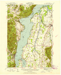
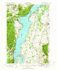
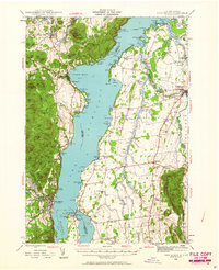
Editions of this 1945 Port Henry Map
5 editions found
Other maps of this area

1894 · Elizabethtown
USGS Topo · 1:62,500

1894 · Port Henry
USGS Topo · 1:62,500

1894 · Ticonderoga
USGS Topo · 1:62,500

1895 · Willsboro
USGS Topo · 1:62,500

1895 · Elizabethtown
USGS Topo · 1:62,500

1895 · Ausable
USGS Topo · 1:62,500

1895 · Paradox Lake
USGS Topo · 1:62,500

1896 · Ticonderoga
USGS Topo · 1:62,500

1897 · Paradox Lake
USGS Topo · 1:62,500

1898 · Port Henry
USGS Topo · 1:62,500